The Hornisgrinde Mountain Project
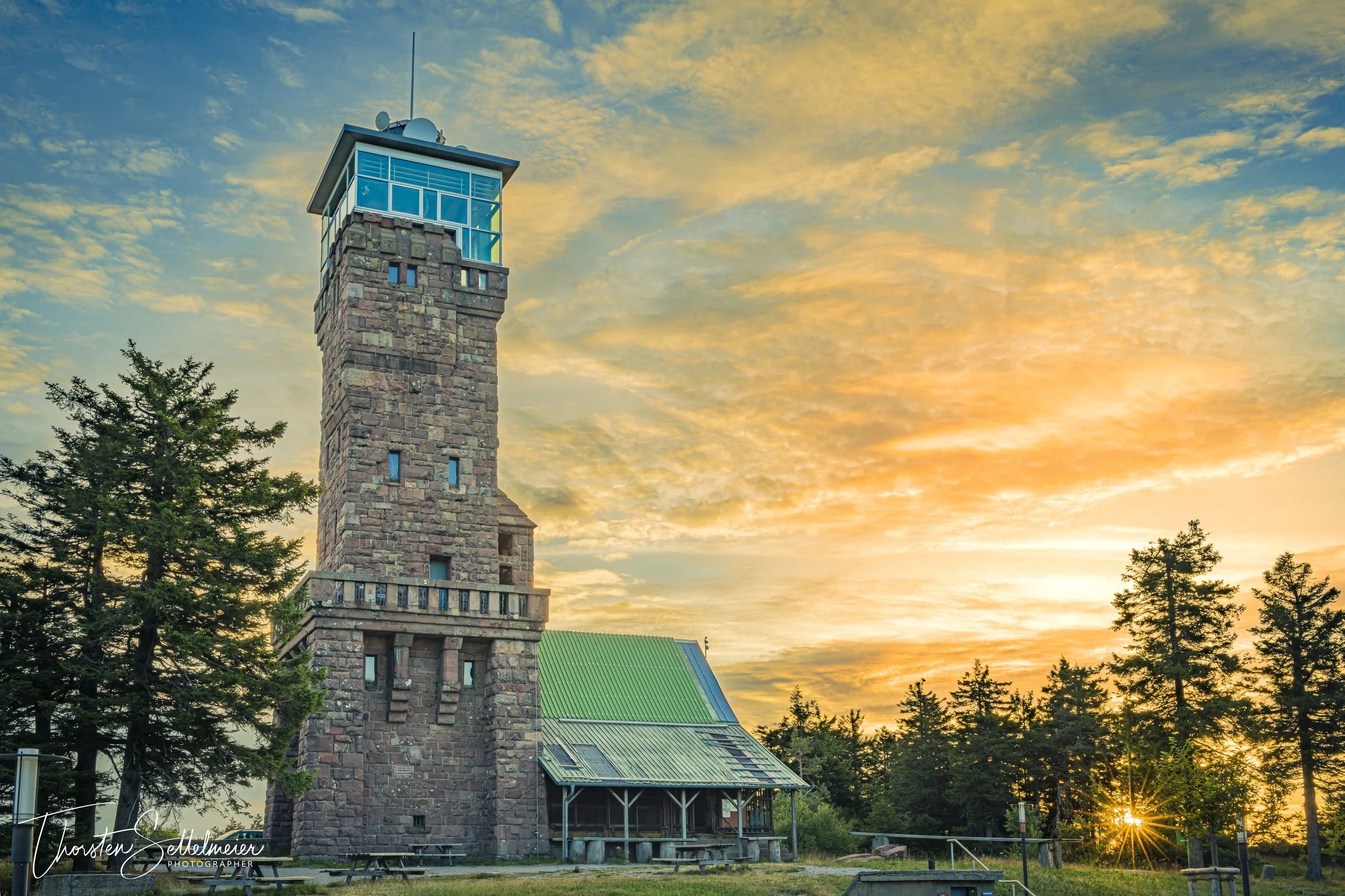
I left early in the morning at 3:30 to be on the mountain before the twilight. So I had enough time to position my camera to capture the glowing sky at the tower. However, when I got to the lake, the glow in the sky was no longer visible.
At 1165 m above sea level, the Hornisgrinde is the highest mountain in the northern Black Forest. It is an elongated mountain ridge with a length of about two kilometers and lies approximately in north-south direction.
The Grinden, treeless wet heaths on the plateau, were formed after the clearing of the forest and subsequent use as pasture land from the 15th century onwards. In contrast, the up to five-meter thick raised bog in the southeastern area of the summit plateau is naturally unforested. It is believed to be at least 6,000 years old. Parts of the plateau with the high moor and the cirque wall to the beaver basin became a 95 ha nature reserve in 1992.
At the southern end, above the Mummelsee, stands the 23 m high Hornisgrindeturm. Its construction in 1910 goes back to the initiative of the Badischer Schwarzwaldverein. Nearby red sandstone was used as building material. Together with the Mummelsee, the tower was one of the most popular excursion destinations in the region at the time. In 1942 it was requisitioned by the German air force. After the Second World War, the French military used it. In 2000, the Seebach Forest Cooperative bought the tower back from the German government and gave the Seebach community a heritable building right to the structure. On May 29, 2005, the tower was reopened to the public. It was named "Monument of the Month June 2005" by the Denkmalstiftung Baden-Württemberg. In relatively clear weather, one has a panoramic view from the tower over numerous mountains of the Black Forest, the Vosges, parts of the Palatinate Forest and the Swabian Alb. In very good visibility, some peaks of the Alps are visible in the south.
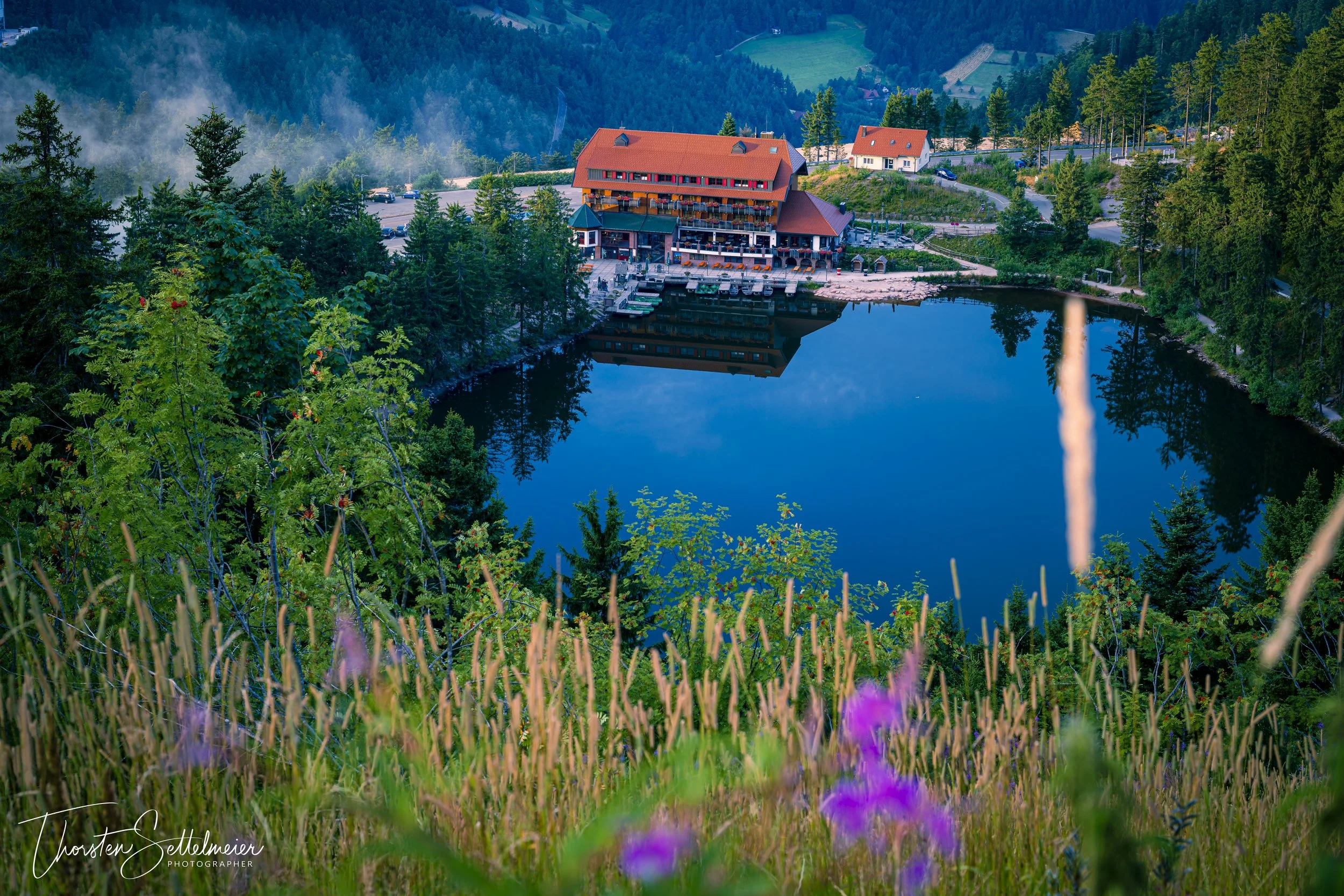
The Mummelsee is a cirque lake at 1028 m above sea level on the slope of the Hornisgrinde in the Black Forest. It is 3.7 hectares in size and 18 meters deep. It is one of the most visited lakes in Baden-Württemberg, as it is located directly on the Black Forest High Road.
According to the municipality of Seebach, the name of the Mummelsee goes back to the white water lilies (Nymphaea alba), popularly known as Mummeln, which are said to have been numerous there in the past. The legend of the mermaids (Nixen), which are called Mümmlein, may also play a role in the derivation of the name of the lake (the white water lily is also called Nixblume). The water of Mummelsee has a pH value below five, is acidic-peaty and nutrient-poor. Therefore, there are no fish and no water lilies in the lake.


